Last Updated on October 16, 2014 by Heather Hart, ACSM EP, CSCS
Because it sounded like a good idea at the time, this past week Geoff and I headed 6+ hours North to the middle-of-nowhere-Maine. More precisely: T2, R10. A “township” with no name, lovingly dubbed “South Canada” by our group of friends, where I had to enter actual GPS coordinates (45.778830, -68.950017) into my GPS in order to attempt to arrive at said destination. A more well known reference: T2, R10 is a few miles from where the Appalachian Trail starts/ends on Mount Katahdin.
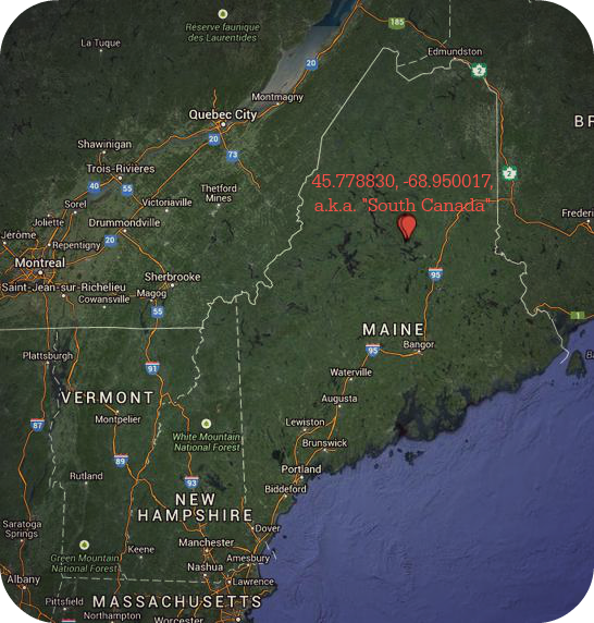
T2, R10
The initial plan in “South Canada” was simply a camp weekend, but as more and more people decided to join, it soon morphed into something more. A 12+hour orienteering challenge with tasks and puzzles inspired by the likes of the Death Race, the Barkley Marathons, years of military experience, and of course, a love for the great outdoors.
Geoff and I have been trying to find the right time to get my foot in the Adventure racing door (he’s done this before), but haven’t really had the time between OCR season. (Note: many people confuse adventure racing with OCR and vice versa. They are NOT the same at all. )What better time or place than the middle of October in the middle of no where. I had been given prior homework reading, including the absolute gem: “Be Expert with Map and Compass“.
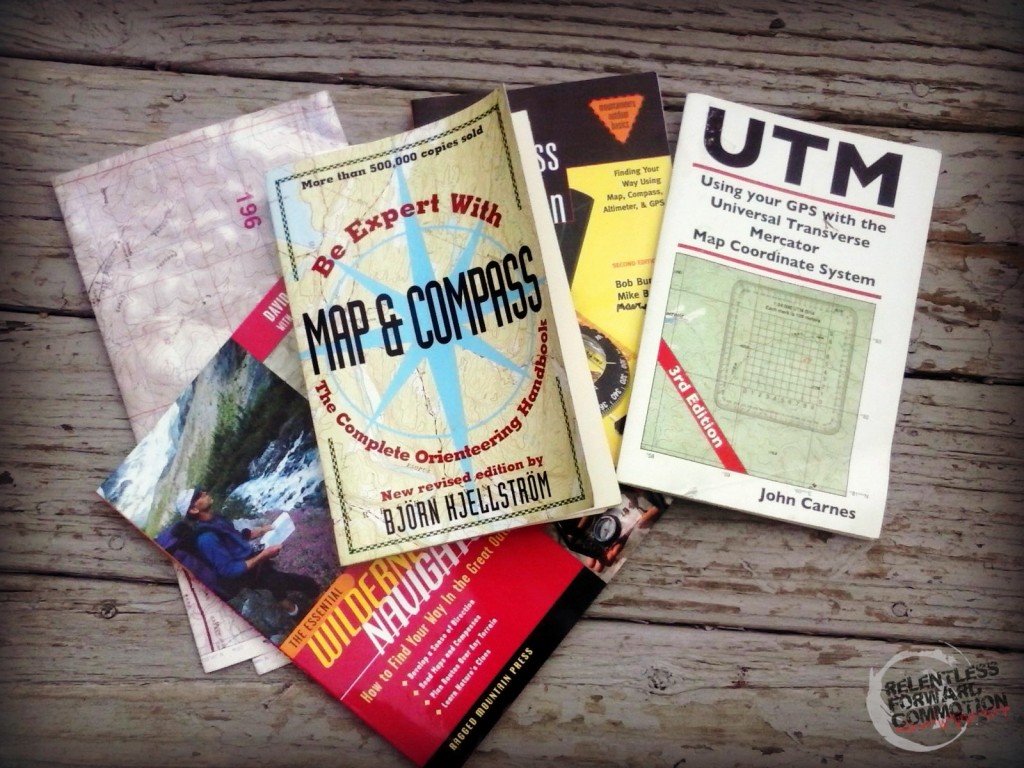
My assigned reading, complete with a practice map of a desert, which is nothing like the deep woods of Maine. Nothing like it at all.
I struggled through the first 7 pages of “Be Expert with Map and Compass” (in case you haven’t noticed yet, it wasn’t a grammatical error on my part, there is no “an” in the title) that thoroughly explained how map reading would enlighten and stimulate my life…AND make me new friends. My attention waned somewhere around the point where I was informed using a map and compass would assist in the “gymnastic” portion of my running skills.
I’ve clearly been doing this “running” thing all wrong.
I trusted Geoff knew enough, which in retrospect is a terrible thing to do when you are miles from civilization and without any sort of cell service, and decided I’d revisit the book later. (Hint: I never did.)
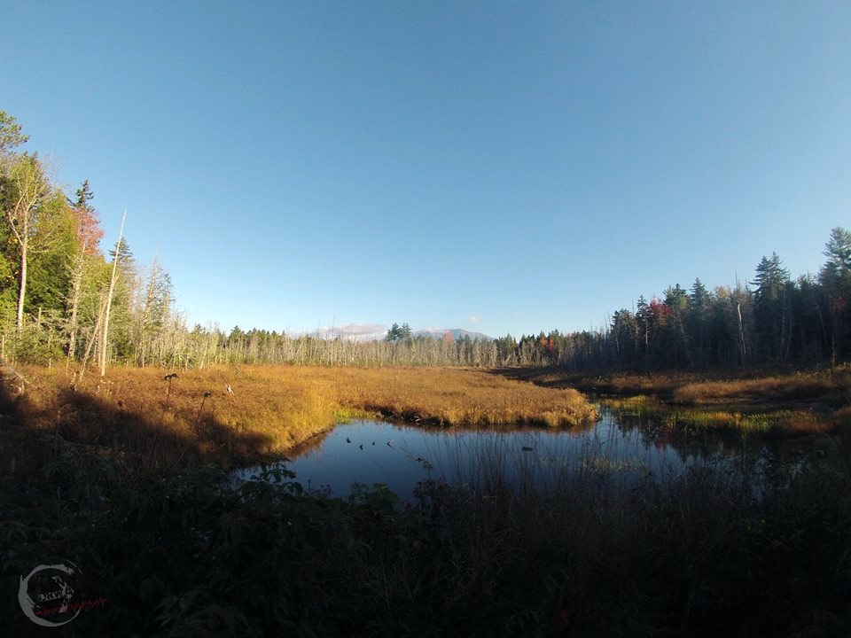
The drive to Maine was long and tedious. 6.5 hours to the sleepy town of Millinocket, 4+ miles dodging speeding logging trucks on the Golden Road, followed by 3+ miles down a gnarly, discarded logging road, that led to a clearing in the woods that would be our campsite. It was a rough drive, but absolutely worth it for the views alone.

Mt. Katahdin. Photo credit: Tim Gallagher
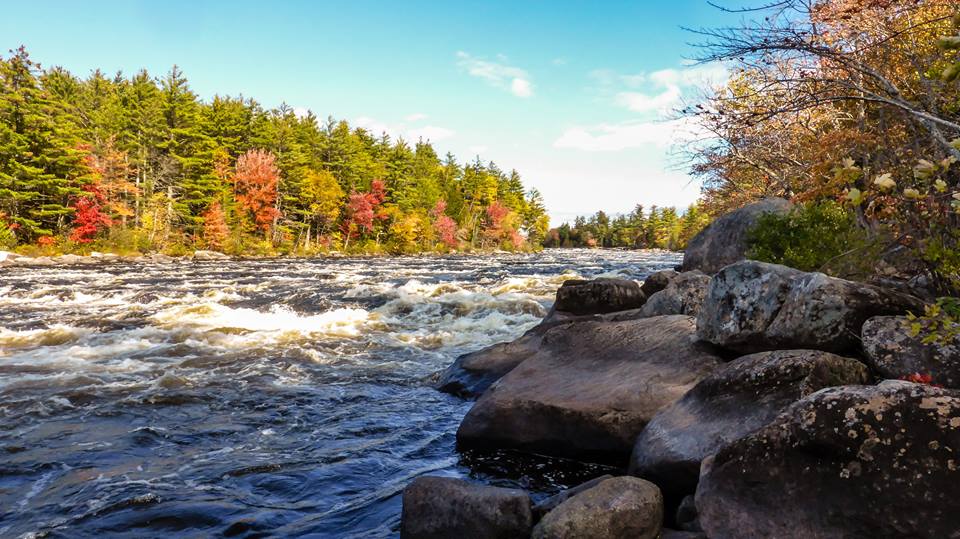
Debsconeag Falls. Photo Credit: Steve LaBonte
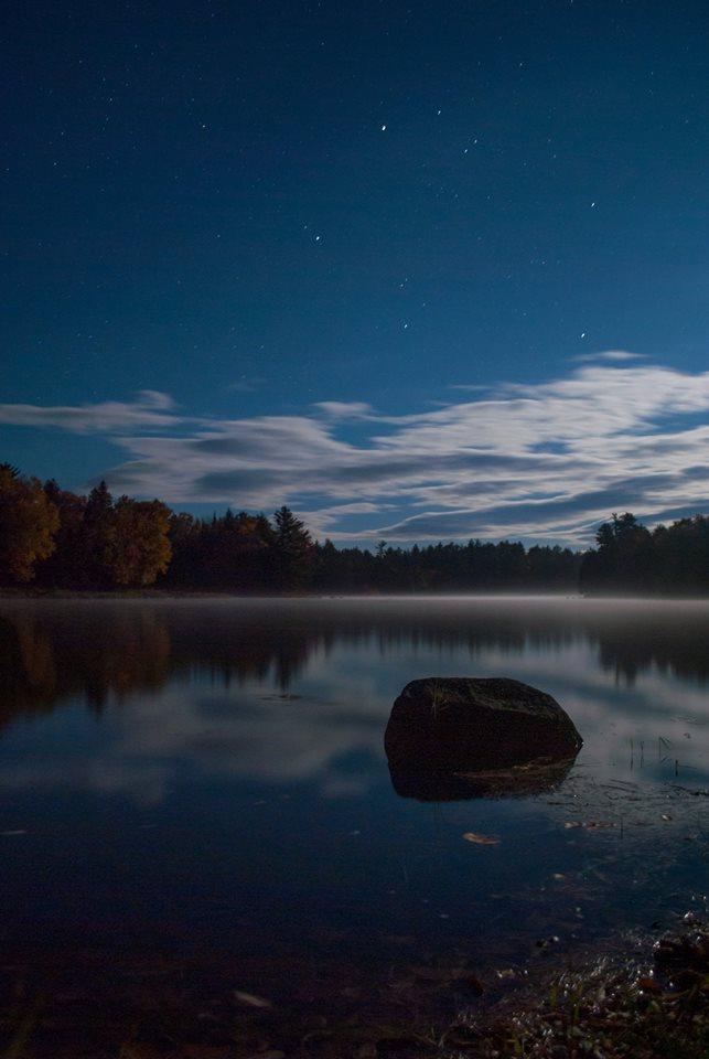
View from our campsite. Photo credit Tim Gallagher
Though we arrived Thursday evening, the orienteering challenge wouldn’t be until Sunday morning at 1:00 am. While there a few days early, I learned numerous valuable life lessons, such as:
– my car does not have nearly the ground clearance as I first suspected; confirmed by bottoming out not once, not twice, but five times on a 40 minute/3.3 mile drive down the last road to the campsite.
– placing your tent on even a miniscule hill will still result in you waking up curled in the bottom of the tent.
–GORUCK was a great warmup for this weekend, as we had to collect and retrieve random downed trees from the woods (no cutting down live trees!)
-how to chop wood with an axe.
-how to run a lumberjack mile (this one is a topic for another post…)
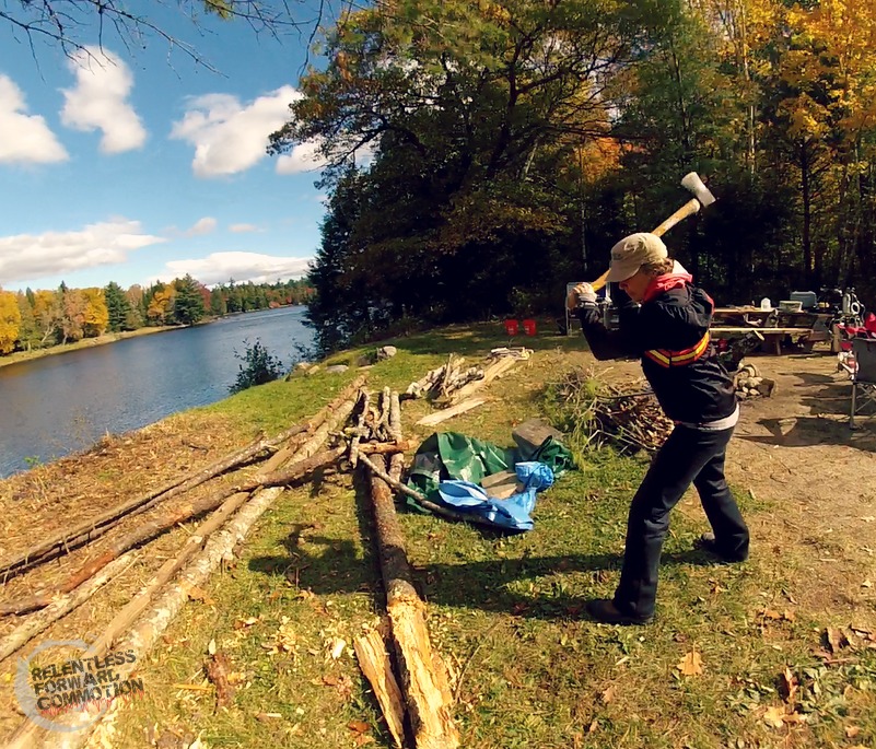
I’m a lumberjack and I’m OK.
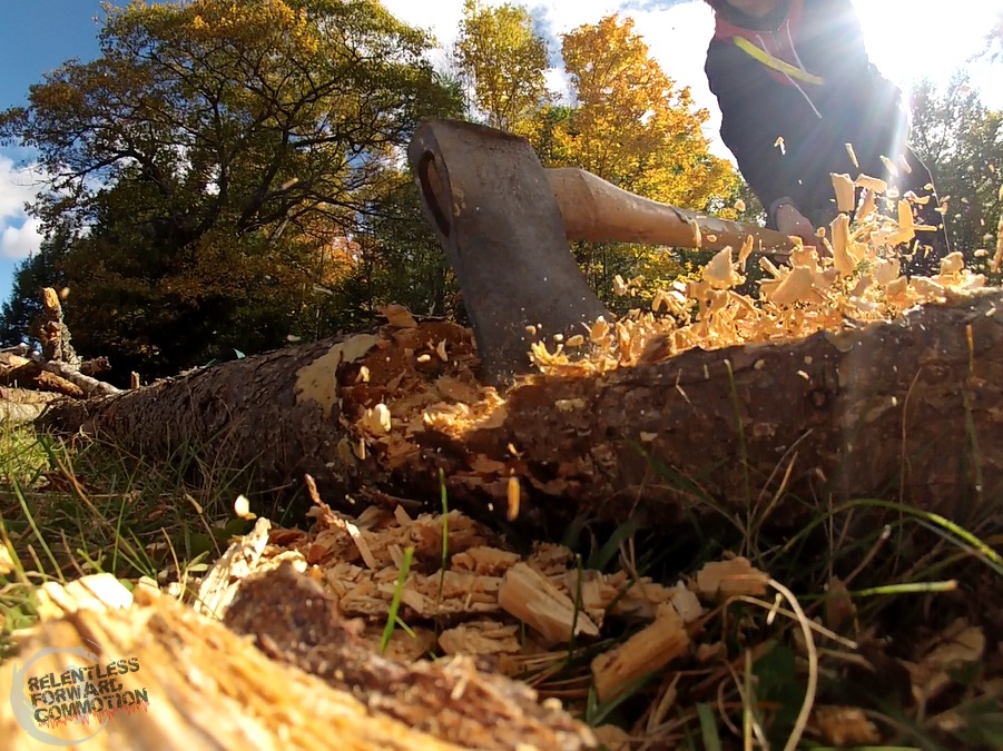
The GoPro survived. The log was sadly shredded.
Saturday night, following an afternoon of our usual shenanigans with this particular group, Geoff and I went to bed early while the sun was still up. A 12:15 am wake up call would give us 45 minutes to prep before the start of the challenge. Per my normal competitive self, I had spent months talking up a good game about how we were going to win this thing. That night, I lay sleepless in my tent, now completely unsure. Mostly, I was scared about roaming through the middle-of-no-where woods in the dark while surrounded by black bears and rutting bull moose.
Despite my hesitation, the wee hours of Sunday morning arrived, and it was go time. We were given a map, a notebook, a pen, and seven coordinates to plot. Immediately my fear dissipated as my competitive side took hold. I began impatiently peering over Geoff’s shoulder and pacing as I watched him use a little clear plastic square that I recognized as the UTM (Universal Transverse Mercator) tool that I had failed to learn how to use.
Damn.
Geoff talked out loud about how he was plotting the checkpoints and kept telling me to “double check” his work. The problem, of course, was that I had no idea what he was doing.
1:00 am: plotting the checkpoints. GoPro doesn’t enjoy night shots.
I did however, know how to read a map (sort of), so when I recognized check point #1 as being less than a quarter of a mile away near another beach, I suggested we head to that one NOW. There were bonus points in this challenge for being the first team to arrive to a checkpoint. We ditched EVERYTHING at our tent other than headlamps and one radio (just in case) and took off running. We hit the beach and searched.
And searched.
And searched some more. Nothing. Maybe I had read the map wrong? We headed another 2/10ths of a mile around the shore to another beach and searched some more. Nothing. Temporarily defeated, we ran back to camp and continued plotting the rest of the check points. Since I was of absolutely no use in the plotting department, I ran BACK down to the beach again by myself to look for the check point.
To no avail. At this point I came stomping back into the camp site, completely convinced that someone was doing this wrong, clearly not me (I’m a competitive jerk). It was then that I was informed that our UTM plot, assuming we did it right, still gave us a 100 square meter range to try and find the flag. A muted, 3×3 inch royal blue flag. In the forest. In the dark. I was also informed at this time that all of our GPS toting cheater friends would likely follow their piece of handheld technology to nearly the exact location of said flag. And lastly, I was informed that the GPS toting team WITH their night vision goggles had already found checkpoint #1, so it was definitely out there.
Those cheating* bastards.
(*disclaimer: they weren’t actually cheating, as there were no real rules. And they aren’t really bastards, I just hate to lose, and was semi jealous of how cool it must be to adventure with night vision goggles).
So once all of the checkpoints were plotted, we loaded up our gear on our backs and headed back out on the elusive hunt for checkpoint #1. Back at the beach again, I look everywhere, still with no luck. So I did what anyone else would do in this semi desperate situation: followed a team with a GPS. I mean, it was dark and everyone was wearing headlamps, how could I NOT see where they were going? Turns out I had spent all of that time looking for the flag in the most obvious places: the beach, the side of the road, near large rocks, etc. It was actually hidden a good 25 yards into the woods, nowhere near the shore.
At said checkpoint we were required to rip our assigned page number out of a paperback novel, and then attempt to study other enclosed information in order to solve a puzzle at the end of the challenge. This particular “information” was what felt like a 20 page print out on how to solve a Rubik’s cube. If you were the first person to the checkpoint, you were also supposed to crack the glowstick in the bag, and take (or take with you) the nip of alcohol. I grabbed our book page, laughed out loud at the Rubik’s cube information, and took off running.
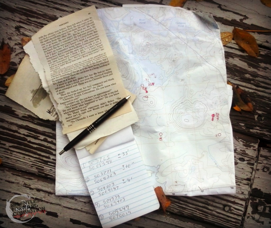
Lots of scribble marks. 1:00 am is tough.
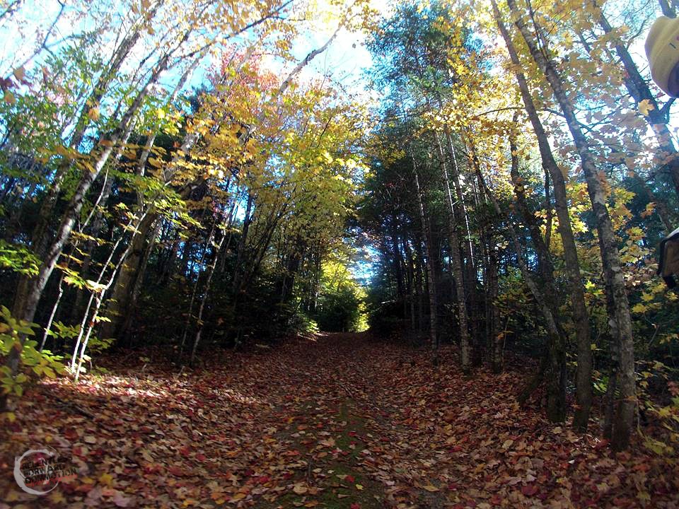
Geoff and I figured what we lacked in GPS technology, we could make up for in speed, as we are both strong runners. Checkpoint #3 & #4 appeared to also be on the shoreline of the lake, maybe a mile away. The shoreline, however, was pretty treacherous and terrain unknown, so we decided to take the road instead. My initial fears returned while running down a moonlit old logging road through the forest and past massive swamps. Every now and then we’d hear scampering in the woods that would momentarily make my skin crawl. Though I kept my own eyes peeled for sets of glowing eyes on the path in front of me, I never saw any. More unnerving however, was the occasional strong scent of animal musk in the air. We were so far removed from human civilization that this particular stench couldn’t be mistaken for anything else but a large woodland creature.
Shortly after thinking we were already lost, we came to the intersection in the road we were looking for. A sharp right turn and we headed down an even gnarlier, scarier road than before. You know when the trees seem to more than engulf the road, but instead suffocate it? That’s how this road felt. Flashbacks of that awful “Blair Witch Project” movie came to mind. Thankfully the road was short, and eventually we came out to an amazing, huge, natural sand covered beach. I wish I had the ability to take pictures at night, it was simply stunning.
Here we scoured the shoreline for those darn blue flags, to absolutely no avail, again. This blog post is getting pretty predictable. We knew we must have been in the right place, as we saw Team Night Vision Goggles scamper away as we approached the shoreline. But regardless, we couldn’t find a damn thing. Both of us started throwing athlete temper-tantrums about how blue was the worst color flag to chose, and GPS isn’t technically allowed in these sorts of competitions (I know, this wasn’t a technical competition), probably with some other unfounded nonsense, like “Maine is a stupid name for a state anyway” (it’s not). So we threw in the towel.
At least until the morning.
It was a long, quiet trek back to the camp. When we got back, everyone was either already asleep or out on the orienteering course. I crawled into the Best Sleepingbag EVER and actually slept incredibly well. Once we awoke, we were met with cheerful questions about how the challenge was going. We retorted with something along the lines of “this sucks, I don’t want to talk about it” (we were half kidding) and stormed off down the road to get checkpoint #3 & #4.
The views during the day were infinitely more gorgeous.
The checkpoints were significantly easier to find during the daylight, it was like…well…night and day. At checkpoint #3 we retrieved our page and studied up on efficient ways to pick a lock, while drawing an exact replica of the key provided. I let Geoff do the studying while I sat huddled in the sand away from the wind and sketched a not so precise rendition of said key.
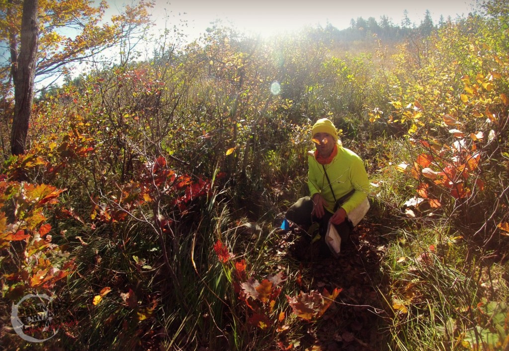
checkpoint #3
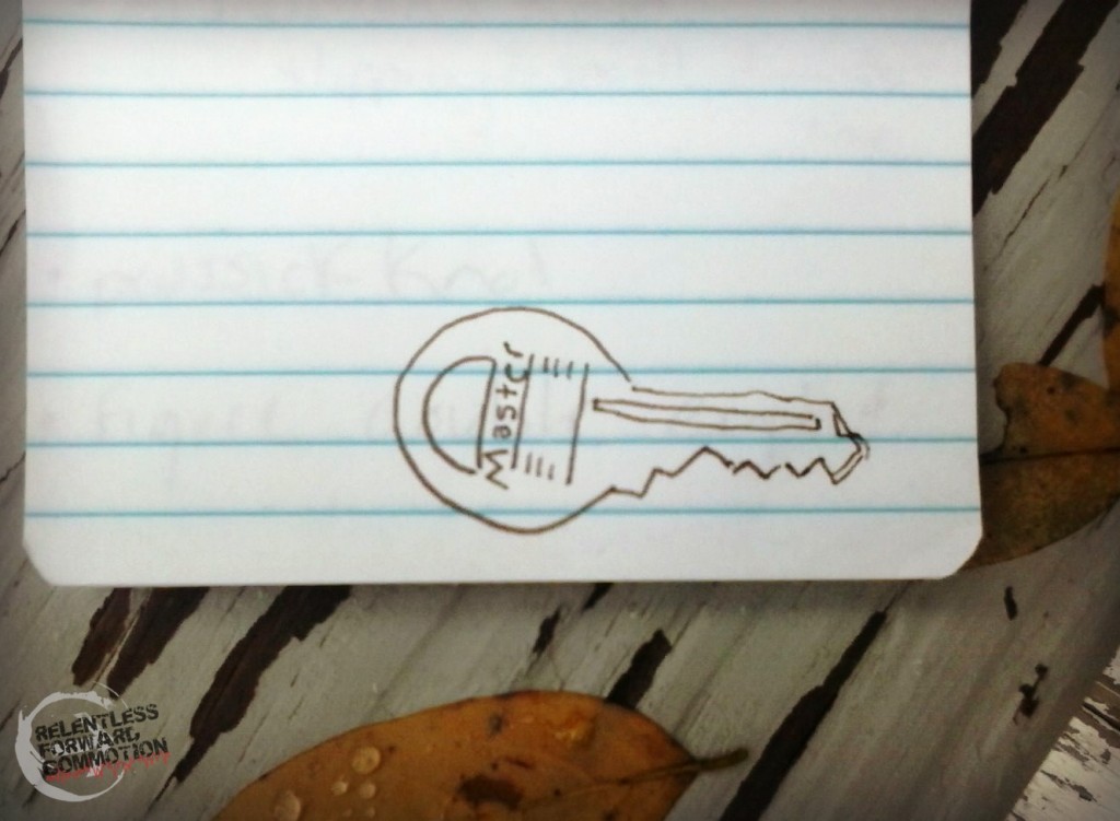
Those art lessons I took at age 8 have clearly (not) paid off.
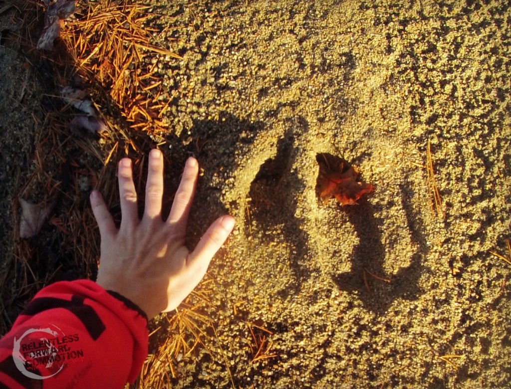
On our way to finding checkpoint #4, we stumbled across some fresh, HUGE moose prints, bigger than my hand. While I had hoped to find Bigfoot on this trip, seeing a moose would have been a close second. Sadly, the hoof prints…and lots of moose poop….was as close as I got.
At checkpoint #4 we brushed up on knot tying skills. Now, let’s get this straight, kids. My “scouting” career consisted of being a Brownie in the late 80’s. Any “knot tying” I did involved friendship bracelets and macrame. But regardless, I read them all off to Geoff, who would occasionally say “I think I know that one”, which was good enough in my book.
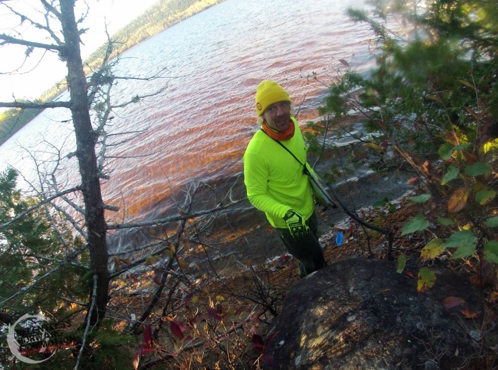
Checkpoint #3
Looking at the map, we decided we would attempt to hunt down checkpoints #5 & #6 next. Both were relatively close to each other, on the opposite side of the campsite. So we headed back there first to load up on water and breakfast, a.k.a those Lance Captain’s Wafer’s cheese cracker snacks.
Number 5 also appeared to be a straight shot off of another long logging road, so we decided to stick with our plan of doing what we do best: running. We ran to the very end of the road which opened up to a remote, somewhat decrepit cabin with the most FANTASTIC view of Mount Katahdin. (These GOPRO pictures do NOT do it justice, so see the first picture from my friend Timmy that I posted above. )
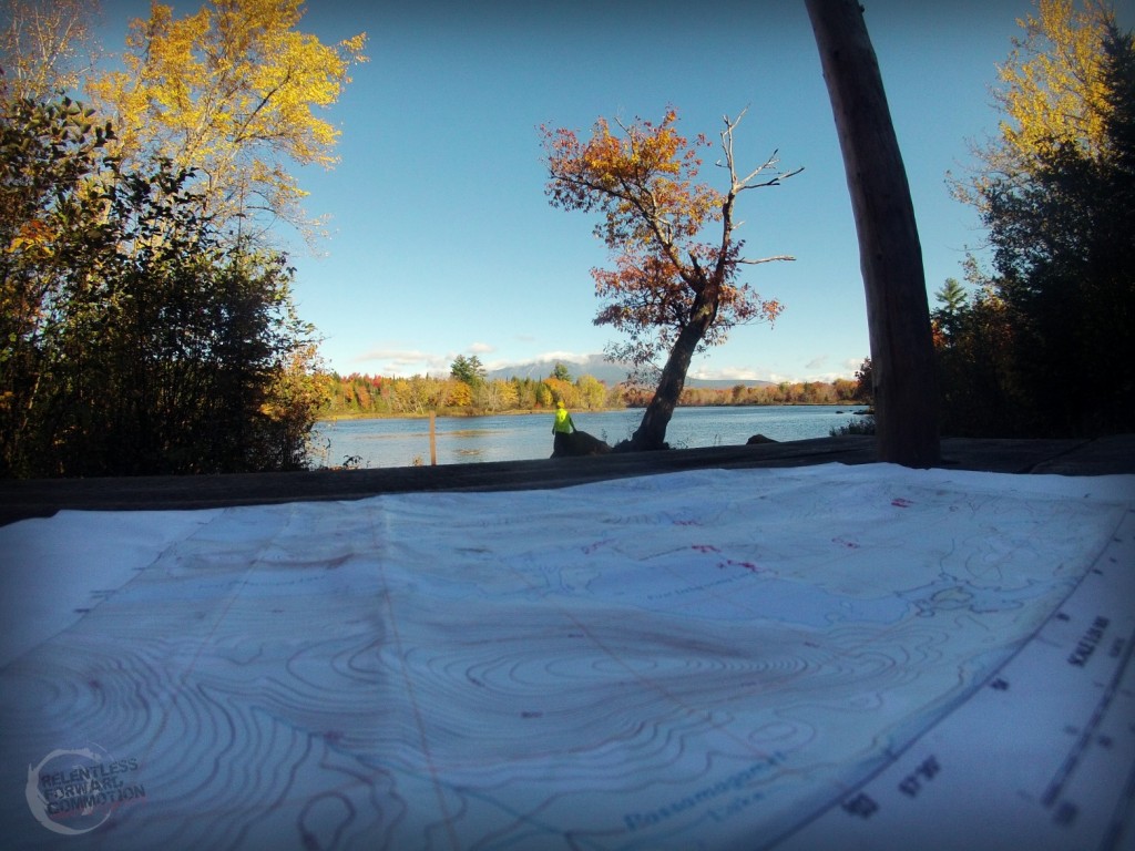
Looking for check point #5 with Katahdin looming in the distance.
We wandered the shoreline for what felt like FOREVER before we finally heard a noise in the woods, a good 50 yards from the cabin. It wasn’t a bear, it wasn’t a moose, it was another team, sitting at checkpoint #5. We were now 50/50 in acquiring checkpoints on our own navigational skills vs sheer luck of stumbling upon friends. Regardless, we collected our page, and then looked at the next puzzle. It was a code, a code that I stared at for at least 5 minutes, willing myself to figure out. While I noticed a few patterns, I couldn’t seem to get enough to reverse it into a decode pattern. I took a picture with the GOPRO thinking I could decode it later, which in retrospect was completely foolish and would be of no use, as I would have no way to retrieve said picture until we returned home.
Next we headed for #6. Now, the previous team, complete with their GPS, headed in one direction, and Geoff took us in another. We were in such deep, thick, underbrush that I kept lamenting that a) how in the hell do giant moose and bears make their way through this brush anyway, and b) this can’t be the right direction. I also started nagging (I had only had a breakfast of cheese crackers, what do you expect at this point) at Geoff, informing him that despite following a compass, he was clearly NOT walking in a straight line. Plus, two OTHER teams, complete with THEIR GPS units, had also headed in the other direction.
Somewhere in here I got my ankle caught in a hole, but didn’t really notice it, in that “you are roaming in the middle-of-no-where, you probably asked for this” kind of way.
We sat down, pulled out the map and rechecked our coordinates. Silly us, we plotted the wrong point. At this point I was notified that in all of his past Adventure racing experiences, he was never the “navigating guy”.
Huh.
So we turned 180 degrees and headed in the same direction as the other teams. We intercepted one team, who was quick to tell us we were currently standing in a clearing surrounded by bear scat. Awesome. As I scanned absolutely every inch of ground for that blue flag and bear poop, I hoped we didn’t cross paths with a pre-hibernating-bear who was privy to Lance Captain’s Wafers, Grilled Cheese flavor.
We searched. We scanned. I fell. We complained.
We quit.
It was nearly 11:30 am when we headed back to camp, defeated, and complete, 100% poor, sour sports. Another long, quiet walk back. When we returned, team Night Vision was already trying to solve the puzzles they had gathered at nearly all of the checkpoints. Instead I poured myself a 2nd breakfast in the form of a Bloody Mary, and sat down in the sun. Then like a 6 year old who had been tagged out in kickball, declared to the group that I didn’t want to play anymore.
In retrospect, I really wish I had taken the time to learn how to plot coordinates and properly read a topography map.
In retrospect, frolicking around the woods in remote T2, R10, Maine with nary but a radio I wasn’t 100% sure how to use, a map I didn’t know how to read, a hydration bladder of water, and a few packages of cheese crackers was not among the smartest decisions I’ve ever made.
But in retrospect, that was one of the most fun things I’ve ever done.
Ever.
And I can’t wait to dive into the world of orienteering and adventure racing for real. Because despite throwing our overly-competitive temper tantrums, spending time out in the woods was amazing. Trying to figure out exactly where we were, and where we were headed, with nothing but a map and some coordinates was a combination of terrifying, exhilarating, and truthfully… kind of hilarious.
A huge thank you to our crazy friends for this experience. Especially to #1 & #2 for taking a ton of time out of their lives to head up to Maine each weekend to scout and design this well thought out, intricate course (of which we really did love, I swear!). And of course to team Night Vision (a.k.a. Team W****) for being awesome arch nemesis’s in the Southern Canada Vision Quest Challenge.
Now, it appears I have some books to go read…
Heather Hart is an ACSM certified Exercise Physiologist, NSCA Certified Strength and Conditioning Specialist (CSCS), UESCA certified Ultrarunning Coach, RRCA certified Running Coach, co-founder of Hart Strength and Endurance Coaching, and creator of this site, Relentless Forward Commotion. She is a mom of two teen boys, and has been running and racing distances of 5K to 100+ miles for over a decade. Heather has been writing and encouraging others to find a love for fitness and movement since 2009.

Elle
Southern Canada… that is funny! And I love your story, as is usual. You are a great story teller… ie. you are great at it, and you tell great stories! win win. After 12 years on the sailboat I am pretty good with a compass.
geoff hart
ON ON!!!